Norfolk’s Beaconed Coast: Walks, Tracks, and Easy Connections

Set out along Norfolk’s lighthouse-studded shoreline with clarity and excitement. This guide focuses on GPX routes, maps, and public transport tips for Norfolk lighthouse walkers, showing how to download reliable tracks, pair them with trustworthy cartography, and link start and finish points using simple, stress-free connections. Expect practical details, heartfelt stories, and gentle safety reminders so your miles feel purposeful, flexible, and wonderfully scenic from cliff top to dune ridge.

Map-First Planning for Confident Coastal Days
Good plans turn blustery coast walks into calm, memorable adventures. Combine accurate GPX tracks with dependable maps so you understand terrain, tides, signage, and escape options if weather turns. Align cliff-top viewpoints, beach access points, and village amenities, then weave transport timings around your intended pace, daylight, and delightfully lingering stops near cafés, dunes, and lighthouses poised above the surf.

Lighthouse-Linked Itineraries You Can Download

Blend iconic towers with friendly distances and flexible transport links. Each suggested walk highlights striking viewpoints, safer underfoot options, and realistic timings for photo stops and snack breaks. Before setting off, check tide times, seasonal path advisories, and any local diversions, then carry the GPX offline so wayfinding remains smooth if your signal fades beside the restless sea.

Cromer Cliff Loop via the Light and Overstrand

A graceful circular starting near Cromer pier climbs to the lighthouse above the cliffs, then wanders east toward Overstrand before looping back along well-signed paths. Expect sweeping North Sea vistas, sea birds winging past, and the comforting flash of the beacon in clear weather. Use the train for simple access, and consider low-tide beach alternatives only after confirming safe timings.

Happisburgh to Sea Palling Dunes and Back

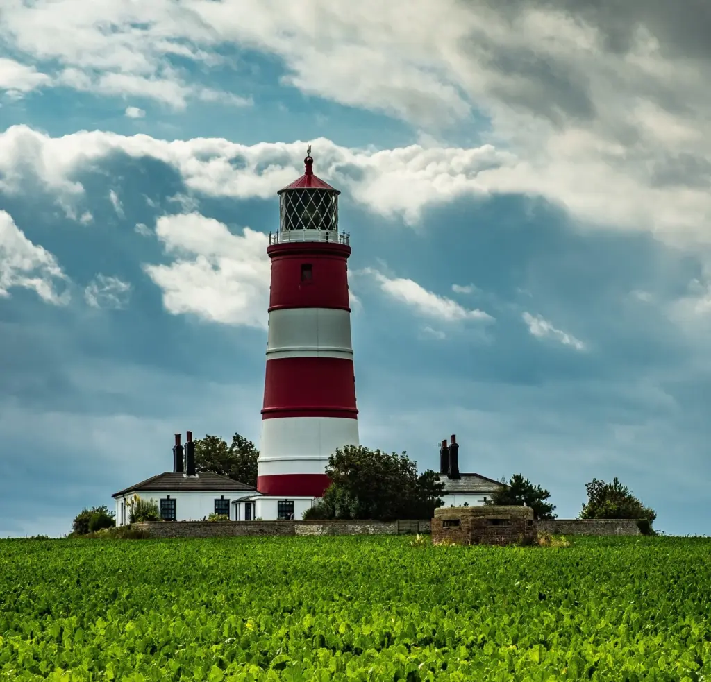
Begin beneath Happisburgh’s red-and-white sentinel, heading south across sandy stretches and dune-backed paths toward Sea Palling’s inviting arc of shoreline. Allow time for photographs, wind-stirred grass, and café stops, then return on higher ground if tides squeeze the beach. Buses reach nearby villages; plan connections carefully, and carry a paper map for fallback when gusts demand detours inland.

Old Hunstanton to Holme Dunes via the Clifftop Tower

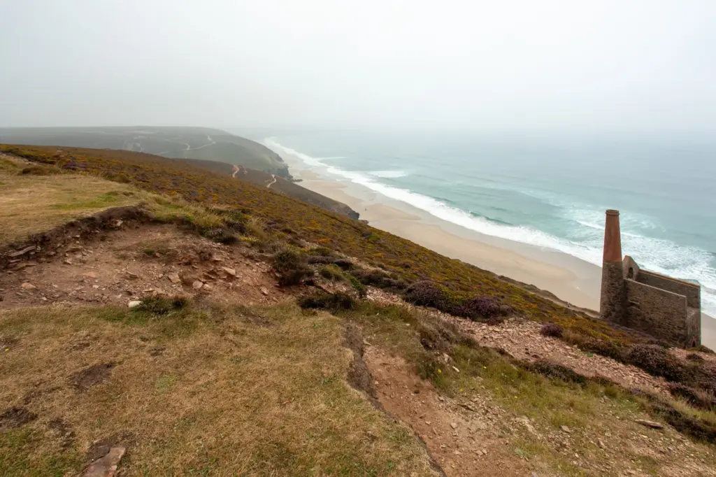
Set off from Old Hunstanton’s broad sands toward the clifftop tower and continue through expansive dunes, salt marsh textures, and big-sky horizons toward Holme. Waymarking joins your GPX to keep navigation relaxed. Watch for wading birds, shifting sand, and short sections where soft footing slows your pace. Coastal buses typically ease the return, though patience helps during quieter hours.
Getting There and Back Without a Car

Public transport pairs beautifully with linear coastal days, freeing you to follow wind and light rather than a parked vehicle. Study rail and bus timetables, favor interchange towns with frequent services, and note last departures. Save offline tickets, carry a contactless card, and keep a short list of alternative stops along your route to flex when weather reshapes plans.

Safety, Tides, and Fragile Shores

The coast’s beauty owes much to forces that also demand respect: tides squeeze beaches, cliffs crumble after rain, and wind reshapes dunes overnight. Prepare with tide tables, read local notices, and prefer high paths when unsure. Pack layers, headtorch, and whistle, and store emergency contacts offline. Small precautions create spacious confidence, allowing you to rest into the rhythm of waves.

Work with tide tables, not against them

Choose outward legs that benefit from receding tides and return on stable higher paths if windows narrow. Mark beach exit points on your GPX, allow cushions for delays, and never race the sea around headlands. Locals and signage often reveal recent sand changes, while a paper map and conservative timing protect spontaneity without letting curiosity outrun good judgment.

Respect cliffs, closures, and fast-changing sands

Cliff edges erode unpredictably; keep a respectful distance, especially after storms or heavy rain. Obey diversions, even when the original line looks passable. On steep beach cambers, uneven footing strains ankles, so slow down and shorten steps. If a shortcut seems sketchy, choose the longer, safer alternative and celebrate the extra views rather than courting risky, brittle ground.

Share the shore kindly with seals and nesting birds

During pupping and nesting seasons, give wildlife generous space, follow wardens’ advice, and leash dogs near colonies. Zoom lenses replace close approaches, and quieter footfalls preserve calm. If a section closes, your GPX should include inland options that still promise beauty, ensuring your day keeps its sparkle while nature enjoys the peaceful buffer it deserves.

Your Digital Toolkit: Apps, Batteries, and Backups
Digital tools shine brightest when they vanish into the background. Download maps offline, dim screens, and bring a compact power bank. Sync GPX files across phone and watch for glanceable prompts, but keep sound cues discreet. Label versions clearly to avoid confusion, and keep a paper map folded to the correct quadrant—because confidence grows when redundancy feels effortless.

Stories and Moments that Stay

Beyond distances and timetables, memories linger in small details: the first lighthouse wink through mist, a thermos opened in sheltering marram grass, laughter when a path reroutes through a churchyard. We share a few moments to spark your own, and invite your reflections, photos, and tweaks that make future walkers’ days smoother, safer, and joyfully unhurried.

Comment with bus timing hacks and reroute discoveries
Did a particular interchange save you twenty minutes, or did a village shelter offer perfect cover during a squall? Add a note beneath the guide so others benefit. When posting, include stop names, rough times, and gentle caveats, remembering services shift seasonally. Your clarity may turn someone’s anxious wait into a cheerful, well-planned pause with tea.

Upload your refined GPX tracks for fellow walkers
If you polished a segment, marked a safer beach exit, or found a viewpoint where wind drops just enough for a picnic, share the updated file. Add short descriptions for each waypoint so newcomers understand choices quickly. Credit original sources, timestamp edits, and include alternative lines to help different paces, preferences, and changing coastal conditions feel equally welcome.

Subscribe for fresh routes, seasonal notices, and meetups

Join our mailing list to receive new GPX downloads, tide-aware itineraries, and gentle reminders about wildlife seasons. Expect occasional invitations to community walks where maps are compared over coffee before boots crunch onto sand. Unsubscribe anytime, no fuss, though we hope each dispatch brings a spark of inspiration and a neatly planned day beside the gleaming sea.