Stride the Norfolk Coast Between Lighthouse Legends

Set out exploring maritime history on foot between Norfolk lighthouses, stringing together cliff paths, dunes, and quiet harbors. Expect stories of keepers, lifeboat heroes, shifting sands, and crab shacks. Bring curiosity, stout boots, and please share your experiences with fellow coastal wanderers.

A Coastline Threaded by Beacons

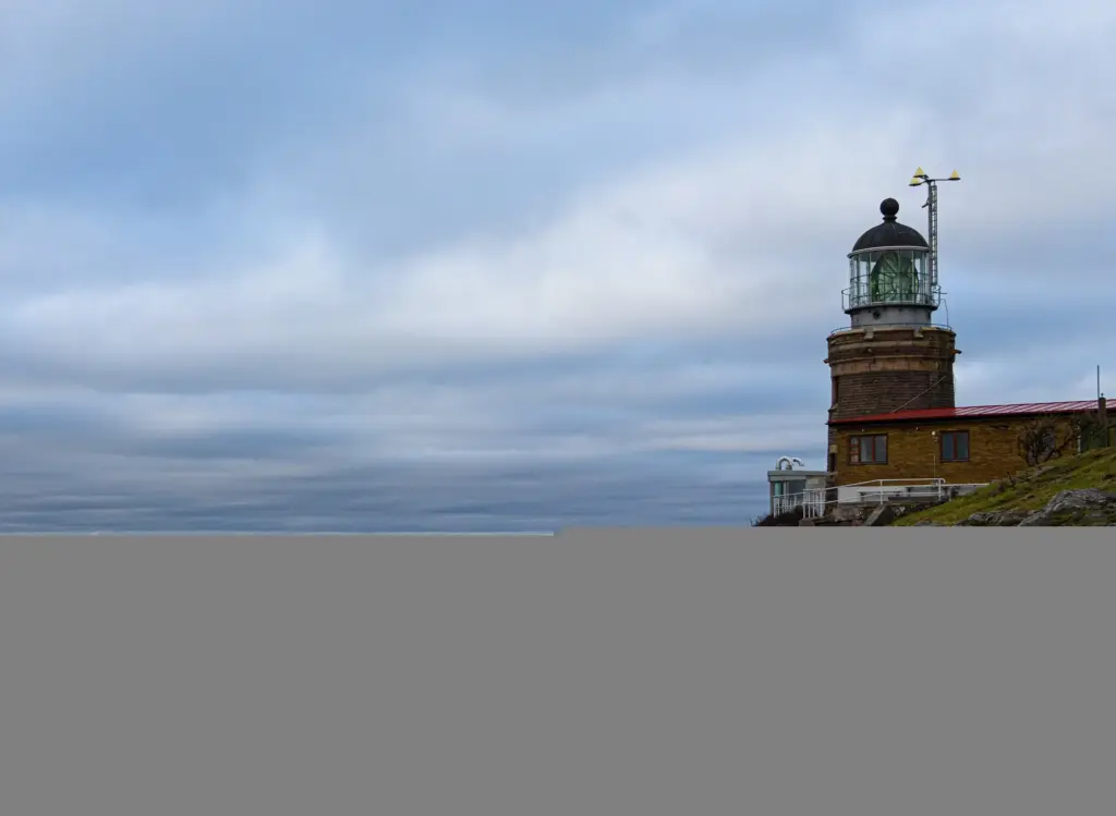
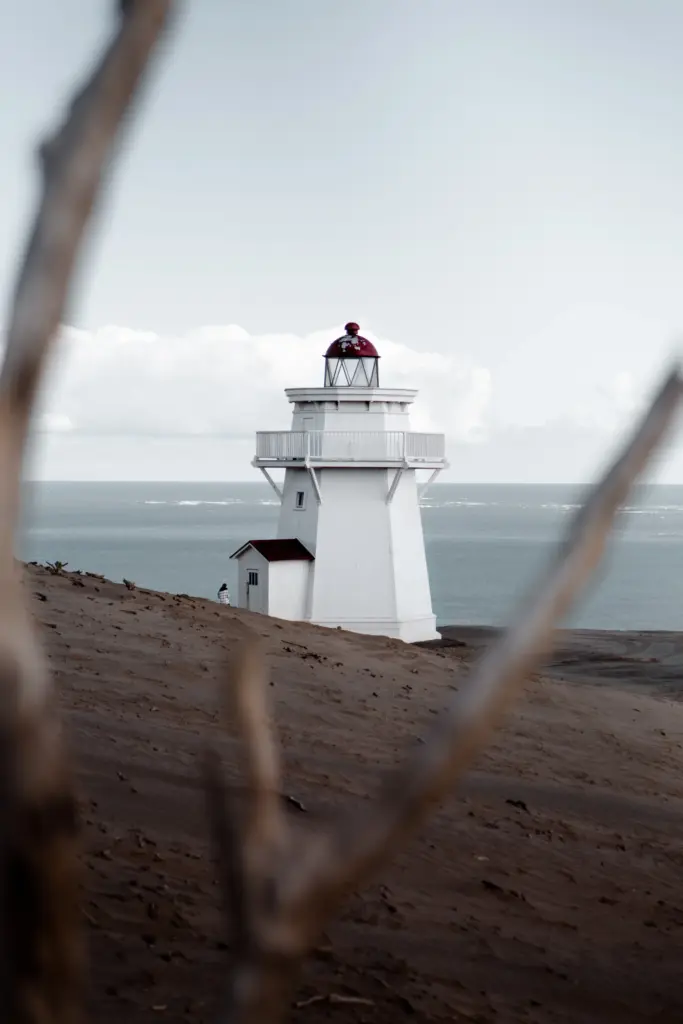
A chain of lights once guided sailors; today their towers guide walkers along a shoreline of chalk cliffs, marram dunes, and saltmarsh. Between Hunstanton, Cromer, Happisburgh, Winterton, and Gorleston, the Norfolk Coast Path links stories, viewpoints, bus stops, tea rooms, and quietly astonishing horizons.

Choosing a Starting Point

Begin in the west for sunset-glowing cliffs at Hunstanton or in the east for early light over dunes near Winterton and Gorleston. Cromer offers rail connections and supplies. Choose convenience, prevailing winds, and daylight hours, then let curiosity, tide times, and café opening boards refine your plan.

Following the Norfolk Coast Path

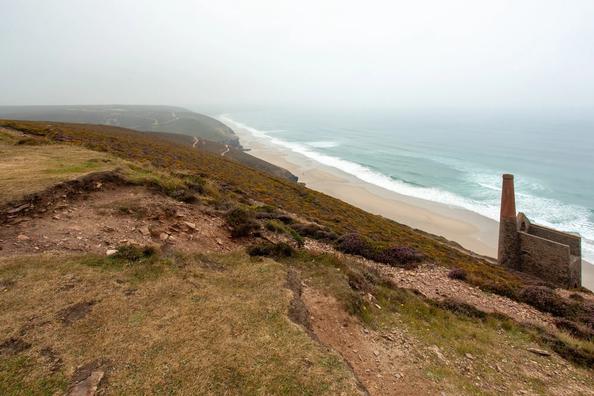
Waymarks lead across promenades, cliff-top commons, and beach sections that sometimes require detours at high water. Carry an updated map or offline app, check England Coast Path notices, and favor stable cliff routes over shortcuts, remembering that a few extra minutes can equal safer, happier walking.

Weather, Tides, and Safety

The North Sea changes mood quickly. Read tide tables, scan forecasts, and respect erosion fences. Pack layers, a brimmed hat, and gloves even in spring. Tell someone your route, note bus fallback points, and treat waves, cliff edges, and unexpected fog with deliberate, unhurried caution.

Keepers, Crews, and Coastal Courage

Behind every flashing light stand keepers, families, and neighbors who stared down gales and darkness. Along this coast, lifeboat crews launched into surf for strangers, and fishermen read skies like diaries. Their courage and craft still color conversations, museums, plaques, and the paths we tread.

Henry Blogg’s Lifeboat Legacy

In Cromer, the RNLI museum recounts Henry Blogg’s decades of service, decorations, and rescues that turned storms into second chances. Pause by the lifeboat house, imagine oars biting grey water, then continue walking with a little more humility, gratitude, and determination to help when needed.

Caister: 'Never Turn Back'

South of Great Yarmouth, the Caister lifeboat disaster shaped a motto carried worldwide: never turn back. When you pass memorials or modern launch ramps, think about ordinary people answering night bells, wet boots waiting by doors, and a shoreline taught to meet peril with practical kindness.

Towers, Lenses, and the March of Technology
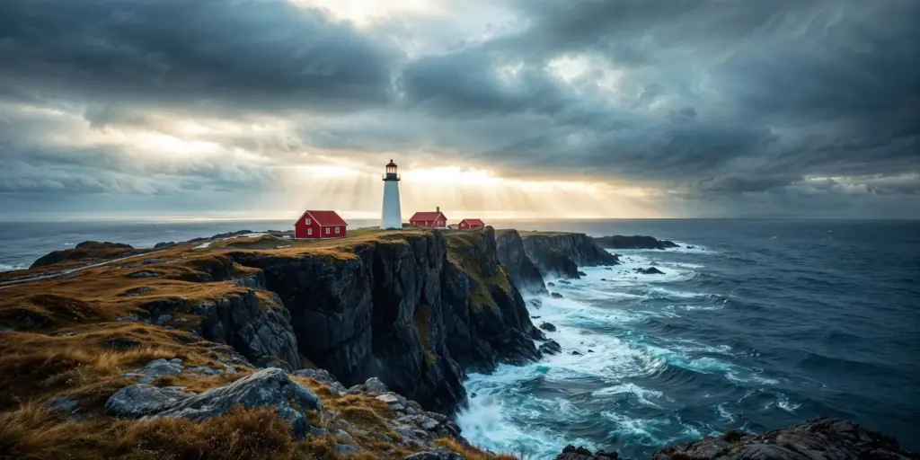
From brick and stone towers to steel lanterns, from oil and clockwork to LEDs and automation, these sentinels reveal ingenuity shaped by storms and shoals. Some still shine; others became homes. Each rewards close looking, respectful distance, and a moment to picture light slicing darkness.

Sandbanks, Shipwrecks, and the Working Sea

Out beyond the surf, shifting sandbanks and currents have long tested seamanship. Fishing fleets, colliers, and wartime convoys all threaded these waters, guided by light, bells, buoys, and nerve. Walking ashore, you sense shipping lanes translated into footpaths, viewpoints, and maritime resilience.
Off Happisburgh lie notorious banks that rise like sleeping animals, moving with storms and seasons. Charts bristle with warnings; museums recall wrecks. From cliffs you may spot white water hinting at hidden ridges, a reminder that guidance from shore once meant life or loss.
Generations worked the silver darlings, filling drifters and curing sheds from Great Yarmouth to villages along this coast. Smells of tar, salt, and smoke infused streets. Today, seafood stalls and museums keep memories alive, inviting walkers to taste history alongside hearty, well-earned lunches.

A Walker’s Itinerary You Can Tackle This Week

Day 1: Cromer to Happisburgh

Set off past the pier and along cliff-top paths toward Overstrand and Mundesley, watching for erosion diversions. Beach stretches may sparkle with sea glass. Arrive near Happisburgh’s stripes by late afternoon, lingering over tea while the horizon blushes and gulls arc lazily homeward.

Day 2: Happisburgh to Winterton-on-Sea

Follow sandy tracks through Sea Palling and Horsey, where in season grey seals drowse near surf. Keep respectful distance and whisper. Dunes shift underfoot, heather scents rise, and Winterton’s adapted tower appears, suggesting shelter, stories, and perhaps a celebratory plate of chips.

Alternative: West Coast Glimpses at Hunstanton

If time is short, wander from Old Hunstanton’s lighthouse past striped cliffs and beach huts, catching wide Wash vistas and ships looping toward ports. Tidal pools mirror sky. Finish with warm doughnuts, notebook reflections, and plans to return for the longer eastward journey.

Erosion and Moving Paths

Coastal authorities constantly adapt routes as cliffs retreat or dunes migrate. Respect closures, follow temporary waymarks, and avoid trampling fragile edges for the perfect photo. Your patience protects habitats, keeps insurance costs down, and ensures access remains open for everyone following behind.

Wildlife Etiquette from Dunes to Sea

Give space to wintering geese, spring terns, and seal pups that need quiet more than admiration. Binoculars reveal plenty without stress. Stick to signed routes during nesting, leash dogs near roosts, and celebrate sightings in a journal rather than stepping closer for likes.

Connect, Share, and Return

Post your route notes, tide discoveries, and lighthouse photos so others can learn, adapt, and stay safe. Ask questions, subscribe for new walks, and swap tips about buses, boots, and pubs. Friendliness travels fast along coasts, returning as unexpected help when needed most.